vertical-media-bottom
Aerial video
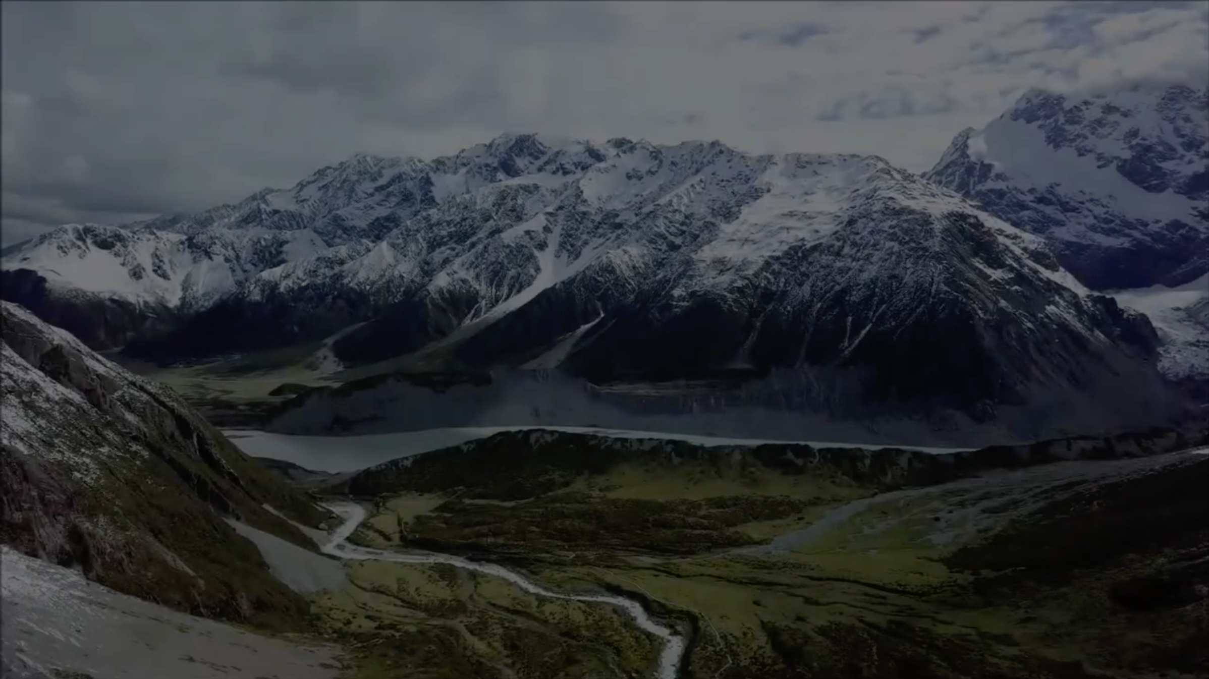
Aerial video! is an emerging form of data acquisition for scene understanding and object tracking. The video is captured by low flying aerial platforms that integrate Global Positioning Systems (GPS) and automated image processing to improve the accuracy and cost-effectiveness of data collection and reduction.
Innovations in remote sensing cameras have allowed the identification of objects that could not have been previously identified. Pipeline and power corridors and their infrastructure can be documented with digital media recording. Video Mapping System is an example of how this technology is used today.